


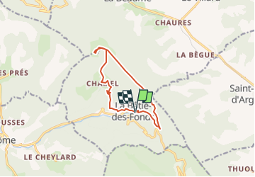

25 km | 41 km-effort


User


FREE GPS app for hiking
 SityTrail
IGN / Geographical institutes
SityTrail World
The world is yours!
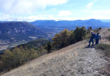
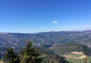
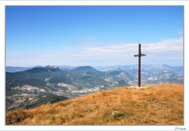
Trail of 10.7 km to be discovered at Auvergne-Rhône-Alpes, Drôme, La Bâtie-des-Fonds. This trail is proposed by 1946.
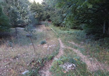
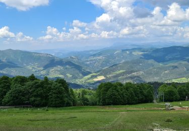
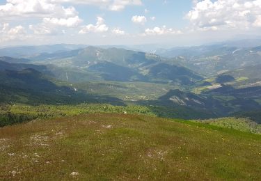
randonnée au départ de la Bâtie des Fonds (source de la Drôme) route un peu fastidieuse jusqu'à CHAMEL puis superbe crête.
Mountain bike

Mountain bike

Walking
Walking
Walking
Walking
Walking

Mountain bike
Walking